
Danbury ZIP Codes and Coverage
The verified Danbury ZIP picture has a core pair, two USPS routing entries, and one held verification question. The city's Residents & Visitors guidance divides pickup service south and north of I-84. The 2026 USPS Postal Bulletin provides destination rows for 06810, 06811, 06812, and 06813. Those facts belong in different columns because delivery routing and parcel geography are not the same.
| ZIP | Danbury Relation | Post-office / Routing Note | Boundary Caveat |
|---|---|---|---|
| 06810 | City pickup section south of I-84 | USPS destination Danbury, CT 06810; City Hall uses 06810 | Delivery geography is not a parcel polygon |
| 06811 | City pickup section north of I-84 | USPS destination Danbury, CT 06811 | I-84 split is a service reference, not a legal boundary |
| 06812 | Local physical use not specified in the reviewed city source | 2026 USPS table routes Danbury to 06811 | Verify an exact address through USPS |
| 06813 | Danbury mailing use, including the Tax Collector PO box | 2026 USPS table routes Danbury to 06810 | PO-box ZIP is not proof of a situs |
| 06890 | Appears in a USPS label-group source, physical service role unconfirmed | Do not present as a fifth local area without live verification | Research gap |
The Danbury service-area page is the source for the I-84 pickup split. The USPS table is the source for the 06812 and 06813 routing rows. The directory keeps 06890 visible as an unresolved check rather than turning an unconfirmed label-group entry into a neighborhood claim.
Danbury's 06810 and 06811 Pair
For many Danbury address questions, 06810 and 06811 are the practical first comparison. The city's pickup guide places 06810 south of I-84 and 06811 north of I-84. That line helps with delivery service and orientation. It does not decide a parcel's ward, zoning district, ownership, or city-limit status.
When a name search begins from a ZIP, normalize the street and number with USPS, then run the address through the assessor and AxisGIS. The assessor has no ZIP field in the inspected Property and Sales Search. It uses street, number, unit, owner, MBL, unique identifier, use, zone, and sales ranges. The ZIP is a starting clue, not the final key.
The Danbury property-card search and the city's service map should be read together, not substituted for one another.
The city service page gives a useful local orientation, while the parcel card answers the separate question of where a specific property sits.
What USPS Says About 06812 and 06813
The 2026 USPS destination table routes Danbury, Connecticut 06812 to 06811 and 06813 to 06810. These rows matter because a ZIP printed in a record may not be the ZIP a researcher expects from a city service guide. The Tax Collector's PO Box 237 uses Danbury, CT 06813, which is a concrete example of an office mailing address rather than a residence.
Do not turn a return address into a parcel location. Preserve the ZIP, city, and address type exactly as shown, then compare the street and number with USPS, the assessor's situs field, and AxisGIS. The ZIP code directory can say where a mailing label routes; it cannot say who lives at the delivery point.
The USPS Postal Bulletin routing table is the current source checked for these entries.
Search Danbury Names Inside a ZIP
A ZIP-first search should narrow the geography before it moves to a street or person. No reviewed Danbury portal supplies a complete ZIP-wide resident list. Civil Inquiry accepts a ZIP in a qualifying property-address case search. The assessor and AxisGIS require address, owner, or parcel fields. Voter lookup requires town, name, and date of birth. USPS is the verification source for delivery normalization.
- Check the full street address with USPS and retain the returned ZIP and city label.
- Compare the delivery result with the Danbury assessor situs and mailing fields.
- Use AxisGIS to confirm parcel geometry, MBL, and surrounding map context.
- Choose the narrower record route: Civil Inquiry for qualifying cases, the voter lookup for a known person, or the Town Clerk for a recorded document.
- Once a ZIP points to a street, hand the address work to the Danbury street directory.
The result is a ZIP-normalized address, not a claim about every resident in the area. A blank record means that the chosen source has no match under its category and coverage.
Check a Danbury ZIP in Civil Inquiry
Connecticut Civil Inquiry's Property Address Search is the clearest researched ZIP-capable record form. City/Town is required, while street address and ZIP are optional. The search can also narrow by case type, property type, and case status. A full five-digit ZIP is expected, not a partial prefix. The stated qualifying foreclosure coverage begins January 1, 2014.
| City/Town | Required text field; enter Danbury for a Danbury address. |
|---|---|
| Street Address | Optional text field; partial street text is accepted. |
| ZIP | Optional five-digit field; partial ZIP prefixes are not the stated format. |
| Case Type | Foreclosure Cases or another qualifying property-case category. |
| Property Type | All Properties, Commercial Properties, or Residential Properties. |
| Case Status | All Cases, Active Cases, or Disposed Cases. |
The Civil Inquiry property-address search is a case index, not a ZIP code directory of people.
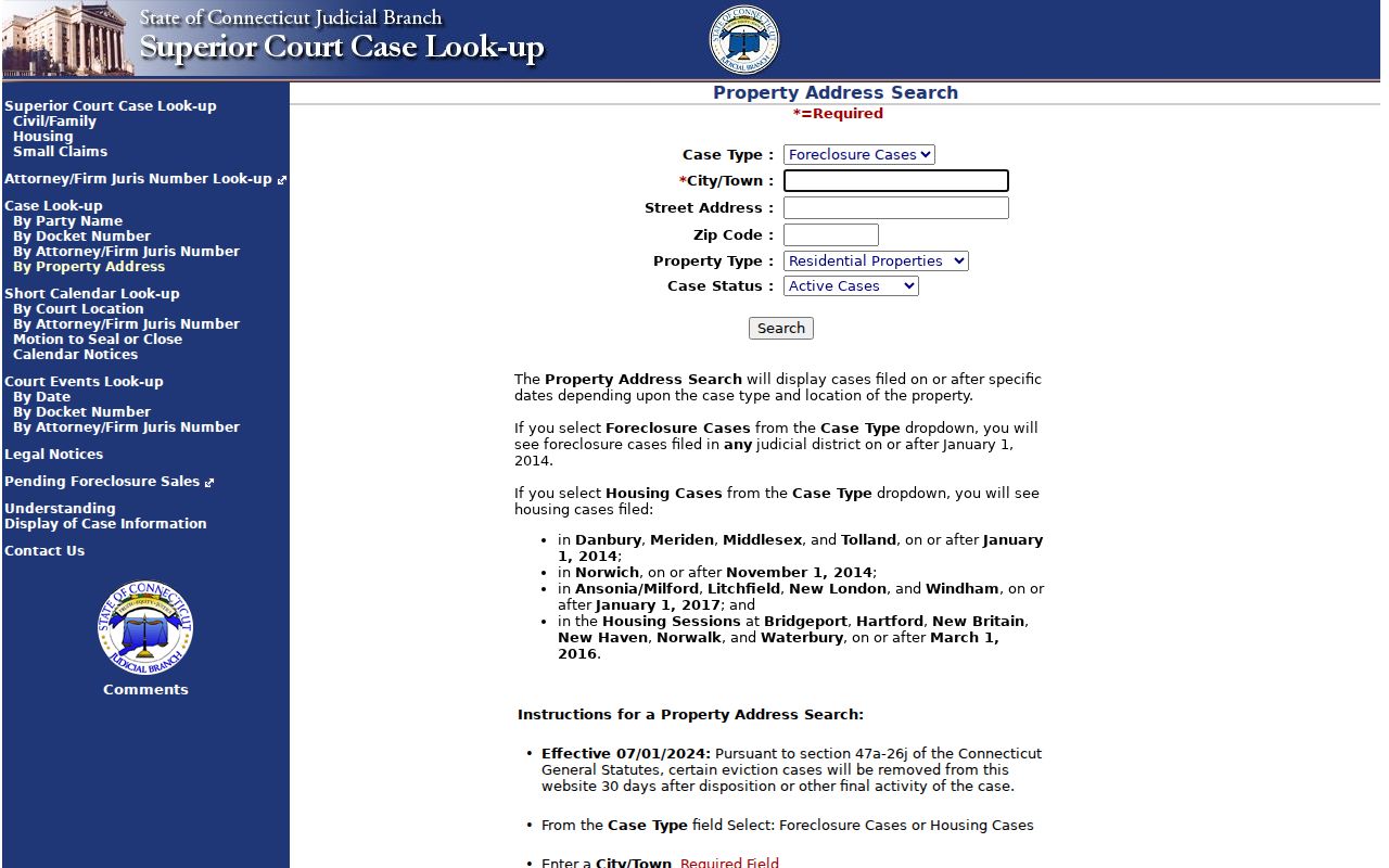
A result can connect a ZIP and street to a public case category. It does not show every parcel, household, or person in that delivery geography.
ZIP Fields the Assessor Does Not Have
The Danbury eQuality Property Search has no ZIP input in the inspected form. It searches by owner name, street number and name, unit, MBL, unique identifier, property use, condominium complex, and sales filters. That is useful because the street and parcel key are more durable than a mailing label when a ZIP is shared, redirected, or attached to a PO box.
AxisGIS searches owner, address, and parcel ID and provides layers, reports, and abutters tools, but no visible ZIP filter was captured. For a ZIP-based research list, normalize each address first, then record the MBL. Do not expect the portal to return a citywide resident count by ZIP; the research found no official Danbury ZIP-level population or voter count.
The Danbury zoning and boundary page supplies the researched map context for this image. AxisGIS remains the parcel map, not a ZIP directory.
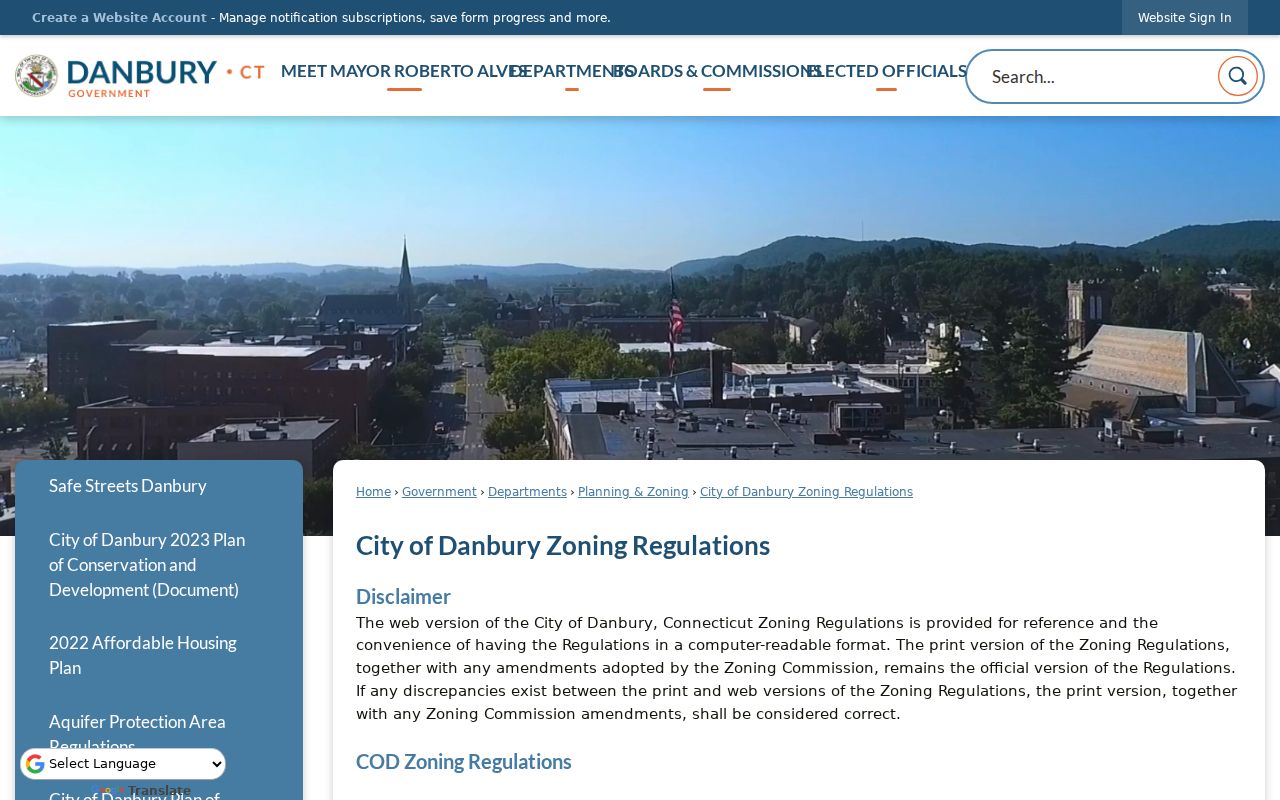
Zoning and district layers add boundary context, but they do not turn a ZIP into a legal city line or a list of occupants.
ZIP Codes and Danbury City Limits
ZIP Codes are USPS delivery routes. Census ZCTAs are generalized statistical areas built from delivery information. Neither is a legal municipal boundary. A Danbury mailing ZIP may serve a route, office, tax box, or delivery point; parcel geometry, zoning, wards, and city limits come from different custodians.
The I-84 split is a Danbury service convention. For a disputed address, compare the USPS answer, assessor situs, AxisGIS parcel, and the city office that owns the question. A street-level name search should move from ZIP to address, then to MBL, deed, or person-specific record.
- ZIP versus ZIP+4
- A five-digit ZIP identifies a broader delivery area; ZIP+4 narrows the delivery segment or point.
- PO-box ZIP
- A mailing ZIP used for a post-office box or office address, not proof of a physical parcel.
- Unique ZIP
- A special delivery assignment associated with one institution or restricted destination, when USPS designates one.
- Carrier route
- A delivery path within the postal system; it is not a ward, zoning district, or household roll.
- ZCTA
- A Census statistical approximation of ZIP geography, not the USPS delivery boundary itself.
The Census ZCTA explanation supplies the statistical-geography distinction.
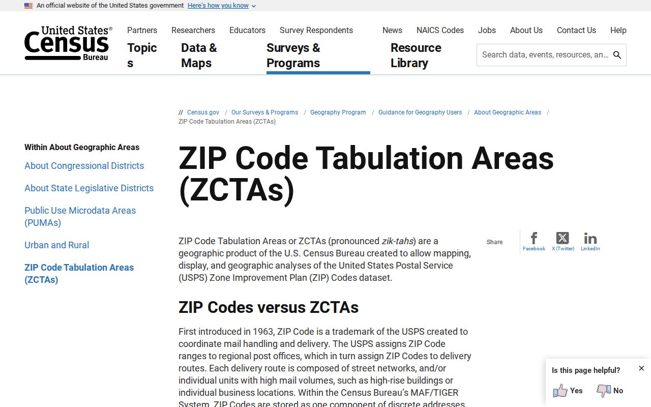
The Census source is useful for statistical comparison, but its generalized area is not the delivery boundary used to verify a Danbury address.
Mailing, Situs, and Legal Description
A ZIP lookup becomes more useful when each address field is labeled. The mailing address tells where notices go. The situs tells where the parcel sits. The legal description identifies the lot, tract, subdivision, or metes-and-bounds language in the deed. The MBL and AxisGIS parcel ID tie those forms together.
That distinction matters for Danbury's 06813 tax PO box, an owner whose mailing address is outside the city, a condominium unit, or a historic address that no longer matches today's suffix. Preserve both the printed address and the normalized address. If the street changes, search the parcel and legal description rather than relying on a ZIP-only match.
Historical Address Changes and Directories
A historic Danbury address may appear in the Museum's 1877–78, 1885–90, 1891, twentieth-century, or 1992 directory files under a different street style. The scanned street section and alphabetical section should be read together. Sanborn or LOC map material, MBL, legal description, and neighboring parcels can bridge a mismatch.
An official citywide street-renumbering year was not located. Units, subdivisions, parcel splits, old road names, business names, and street suffixes can cause the same address to look different without a documented citywide project. Ask the Museum or use 311, Assessor, GIS, Planning, or Building contacts when the printed number does not resolve.
The Connecticut State Library old-house guide shows how to pair deeds, maps, directories, tax, census, and local-history sources.
Verify a Disputed Danbury ZIP
Use the record keeper that owns each part of the dispute. USPS answers delivery normalization. The Assessor answers the situs card and parcel fields. AxisGIS answers map geometry and MBL context. The Town Clerk answers recorded land documents. City 311 can route an address question to the correct department at 311 or 203-744-4311.
For voter or court questions, use the person-specific or case-specific form. Do not turn a ZIP result into a household claim. A tax, business, court, or voter record may preserve a different ZIP because it describes a mailing contact, a filing address, or a civic assignment rather than the parcel's delivery point.
Note: Verify ZIP 06890 through live USPS lookup before presenting it as a Danbury physical-area ZIP; the local research leaves that association unresolved.