
Looking Up Danbury Neighbors
A Danbury block search has several public layers, each describing a different relationship. AxisGIS and the assessor are parcel-oriented. RecordHub is document-oriented. Civil Inquiry and Building/OpenGov appear only when a qualifying case or request exists. The voter lookup is person-specific and has no street-browse mode. A civic organization can show an area or representative structure without revealing members.
| Source | What It Shows About a Block | Access |
|---|---|---|
| AxisGIS parcel map | Parcel geometry, IDs, assessment links, adjacent parcels, layers, abutters | Public viewer; report tools vary |
| Danbury assessor | Street names, numbers, units, assessed names, MBLs, use, zone, buildings | Public property-card portal |
| RecordHub / Town Clerk | Recorded parties and legal descriptions when a deed or document is found | Online account/image rules; counter fallback |
| Voter lookup | Individual registration and polling assignment | Person-specific state lookup |
| Building and Civil Inquiry | Address-linked permits or qualifying public cases | Request or limited index; scope applies |
| Danbury community layer | Area streets, civic contacts, and representative structure | Public organization pages; no member directory located |
The table prevents a common mistake: a parcel owner is not the same as every person at the address, and a blank court or permit result does not mean that no one was ever connected to the block.
Click Adjacent Danbury Parcels
Start in AxisGIS Danbury with the subject address, owner, or parcel ID. Select the parcel and open Parcel Details. The map lets a researcher click touching parcels, record their IDs and addresses, and move outward without confusing a nearby lot with the entire street.
The viewer can show Assessment, Documents & Links, property photo, zoning, flood, district, and other configured layers. Layer availability changes with map scale. Save the parcel ID, search date, and map context before moving to the next neighbor. The city's disclaimer says the viewer is for informational and planning use and may change without notice.
The block process is simple: subject address → parcel ID → touching parcel → assessor card → deed or civic record if needed. The full named-street chain belongs in the Danbury street directory.
Use the Danbury Abutters Buffer
AxisGIS's Abutters tool turns a parcel into a repeatable neighbor set. Open Parcel Details, choose Abutters, edit the distance and units, select the surrounding parcels, and review the highlighted set. The inspected configuration showed a default distance of 100 with feet or miles controls.
- Search or select the subject parcel and confirm its MBL or parcel ID.
- Open Parcel Details and choose Abutters.
- Set the distance and units, then select the surrounding parcels.
- Use Add or Remove to clean up the set and exclude parcels outside the question.
- Save or print the Abutters Report or Mailing Labels as PDF or Excel, with the report date attached.
The report is parcel and owner oriented. It is not a list of every neighbor, occupant, visitor, or household member. A map buffer can include a road, common land, or a parcel that touches only at a corner.
Read a Danbury Block Through the Assessor
The eQuality Property Search can browse a full Danbury street from its live street-name dropdown. Add a number or unit when a block is large, and record Street Name, Number, Unit, Name, Uniqueid, MBL, Property Use, Acres, Zone, Buildings, and Condo Complex. The MBL makes each row easier to compare with AxisGIS and a recorded deed.
Danbury's card data uses the 2022 revaluation base and updates nightly. The assessed owner is a property relationship. A mailing address may be outside the city, and an exemption or sales field does not identify every person at the situs. Keep the card's date and source beside the block snapshot.
The Danbury assessor property cards are the public parcel lookup.
What the Danbury Voter Roll Can Show
The Connecticut voter lookup requires a town, first name, last name, and date of birth. It returns a person-specific registration or polling result rather than a street browse. Month and day of birth are exempt from public disclosure under the current state rule, and protected voters can be withheld under the Voter Privacy Program.
Danbury's current ward and polling framework follows a 2025 ordinance effective July 12, 2025. Use the Registrar's current street listings and polling page rather than an older map. The statewide voter file costs $300, is CSV-only, and carries statutory use limits. It is not a casual block directory.
The Danbury Registrar page is the current local civic route.
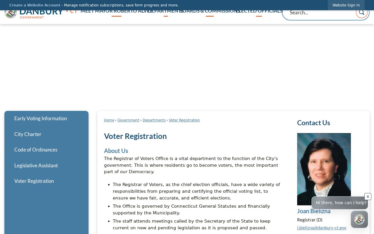
The ward image supplies civic geography. It does not identify every household on a block.
Add Danbury's Community Layer
Tri-Community Homeowners Association represents Southern Danbury and publishes a street list that includes Caisson Drive, Cannonball Drive, Carriage House Drive, East Drive, Grenier Drive, Harwood Drive, Jonathan Court, Marc Road, Miry Brook Road, Ole Musket Lane, Olympic Drive, Shady Acres Park, Short Lane, Spruce Mountain Road, Spruce Mountain Terrace, Spruce Mountain Trail, Stable Drive, Tanmar Drive, Ward Drive, Ward Drive South, and Weindorf Lane.
The association describes civic, security, safety, and social purposes and uses street representatives. No public member directory was located. That boundary matters. An area or representative list can help place a block in a community context, but it does not establish membership or a verified household at any address.
The Tri-Community Homeowners Association is the source for the published streets and community context.
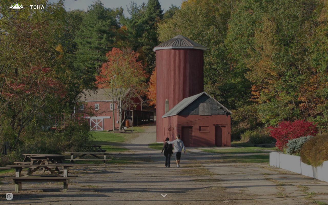
This civic layer adds local geography without turning an association website into a people directory.
Tri-Community Homeowners Association
Southern Danbury street representatives and community context
Neighborhood Services UNIT
Citywide code, zoning, health, fire, and blight complaint routing
Use Danbury 311 and UNIT Carefully
Danbury 311, at 311 or 203-744-4311, is a 24-hour non-emergency intake route. Neighborhood Services UNIT handles address-keyed complaints involving blight, code, zoning, health, fire, and abandoned or unregistered vehicles. A request may route a current civic issue to the right department, but the existence of a complaint is not a complete account of a block or the people connected to it.
When a public record is requested, name the address, date range, and exact category. The Police, Building, Town Clerk, Assessor, and Registrar each control different records. A formal Connecticut FOIA request can seek nonexempt material, but protected people, sealed records, and personal fields remain limited.
The Danbury 311 page provides the citywide routing numbers.
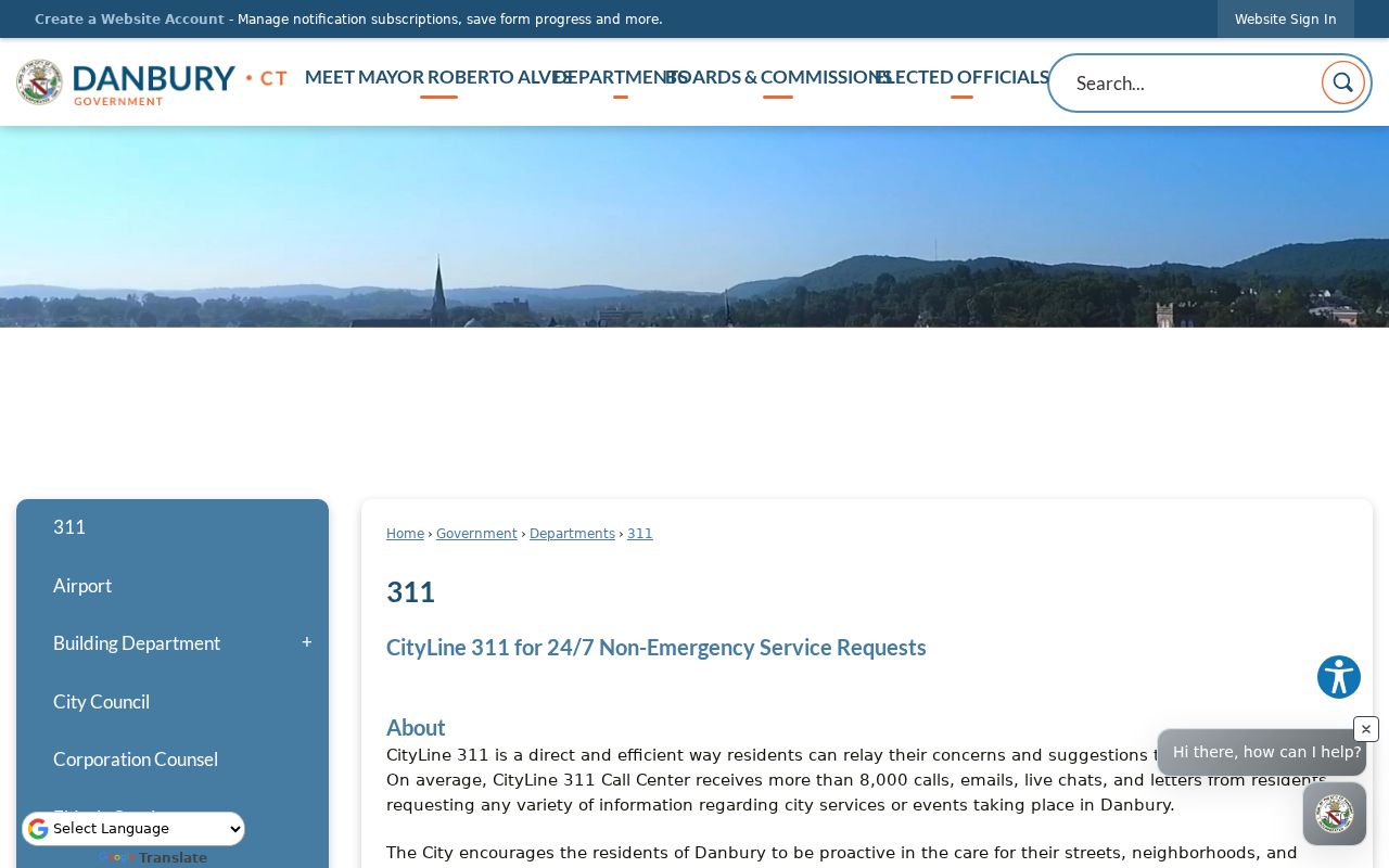
311 is a routing tool, not a neighbor lookup. Use it when the question belongs to a city service rather than a parcel or person index.
The Danbury Neighborhood Services UNIT page shows the citywide address-complaint route.
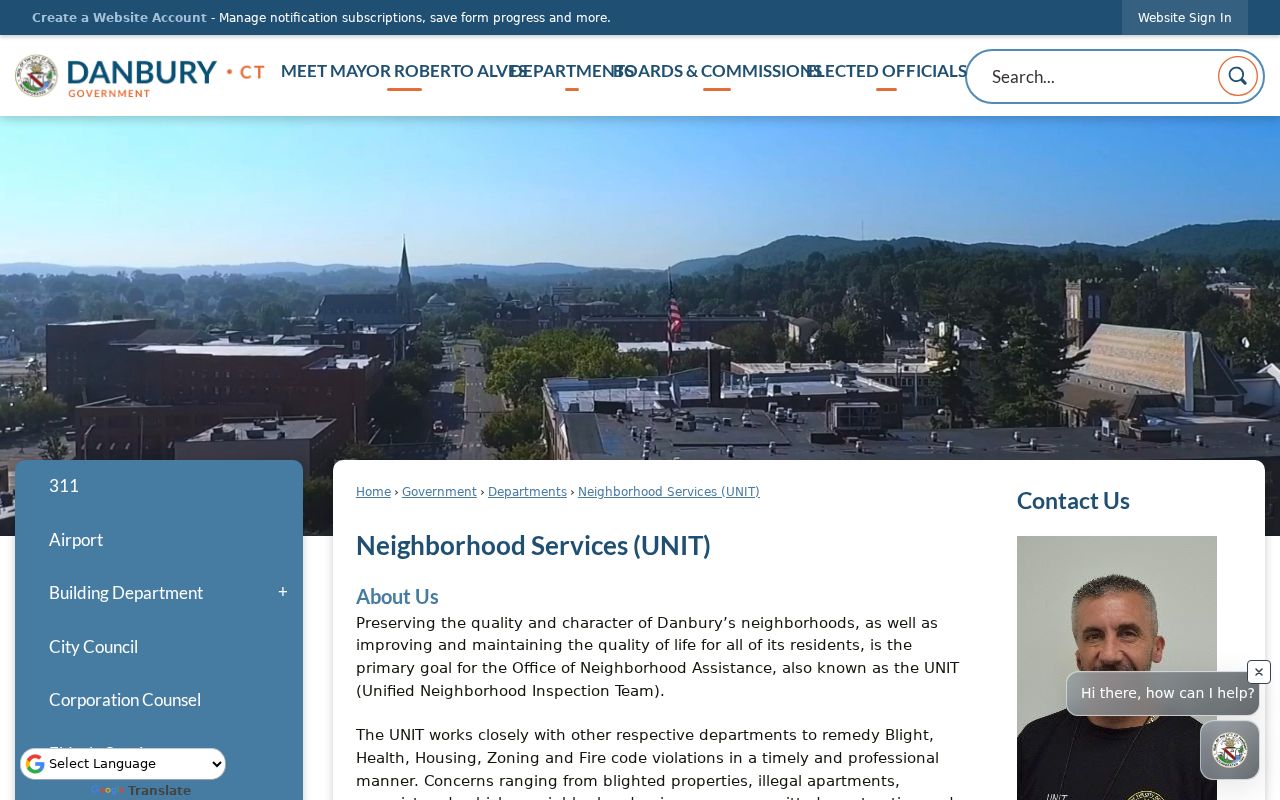
UNIT adds a civic-response layer, but a complaint record should not be read as a complete account of the people connected to an address.
Official Rolls Versus Compiled Neighbor Tools
Official sources are narrow but traceable. A compiled people-search service may combine public filings, old addresses, phone data, and third-party feeds, yet it can be stale, duplicated, or wrong. It cannot repair an incorrect Danbury deed, voter record, court entry, or assessor card. For a block question, compare the source relationship before trusting a compiled profile.
| Source type | Strength | Limit |
|---|---|---|
| Assessor / AxisGIS | Parcel, MBL, owner and map context | Not every occupant or household member |
| Town Clerk records | Recorded parties and legal descriptions | Only when a document exists; access and copy rules apply |
| Voter lookup | Known person's registration or polling result | No public street roll; privacy program limits |
| Compiled neighbor tool | May gather several public clues in one view | Accuracy, freshness, cost, and lawful-use limits vary |
Use official custody for verification. If a source record is wrong, contact the custodian that owns the field instead of relying on an opt-out from a compiled service.
Print a Dated Danbury Block Snapshot
A useful block snapshot records the subject parcel, MBL, adjacent parcel IDs, assessed names, map date, report distance, civic source, and any deed, permit, or court document number. Keep the source relationship beside each name: assessed owner, mailing contact, recorded party, permit role, registered voter, historical occupant, or association context.
AxisGIS reports and mailing labels can be saved as PDF or Excel after the abutters set is selected. The Assessor card and Town Clerk document add different kinds of proof. A later update may change a parcel line, owner, ward, or portal result, so the original date is part of the record.
Note: A blank block layer means no result in that source and period, not that no person or event existed.
Separate Parcel Neighbors From People
The word neighbors can mean adjacent parcels, people registered at nearby addresses, historical occupants, community representatives, or household members. Danbury's public tools can answer only some of those meanings. AxisGIS is strongest for parcels and abutters. The assessor is strongest for card fields. Voter and court systems need a known person or qualifying case. TCHA supplies community context without a member list.
Protected voters, Safe at Home participants, sealed cases, restricted vital records, and DMV data under the DPPA create real gaps. Do not fill a gap with inference. If a result raises a safety concern, stop and use the official privacy or law-enforcement channel.
Lawful use. Danbury neighbor research is for personal, lawful civic, parcel, and family-history questions. Do not use an address, owner clue, or block report to stalk, harass, threaten, intimidate, or harm anyone.