
Trace a Danbury Street Address
The address angle works best as a five-part chain. Start with a normalized street number and name. Move to the Danbury property card for the assessed owner and parcel key, then use AxisGIS to inspect the parcel and the surrounding map. A deed search identifies the legal parties to a transfer. Voter and directory material can add a dated person clue, but each layer has a different meaning.
- Write down the current number, street spelling, suffix, unit, ZIP, and any MBL or parcel ID already known.
- Run the address through the Danbury eQuality property search; leave the number open when browsing a full street is useful.
- Open AxisGIS Danbury, confirm the parcel shape and MBL, and inspect the Assessment and Documents & Links tabs.
- Use the current owner as a grantee candidate in RecordHub or at the Town Clerk, then read the grantor, recording date, legal description, and document number.
- Check a voter result only for a known person, and use the Museum's street sections when the question reaches an earlier household.
The chain is address → parcel → owner → deed → earlier party → dated directory clue. It is more reliable than treating every name found near a street as a current resident.
Normalize a Danbury Street Address
Four address fields can disagree without any record being wrong. The situs address is the physical parcel location. A mailing address is where an owner or taxpayer receives notices. The legal description is the deed's lot, subdivision, or metes-and-bounds language. The parcel key is the MBL or AxisGIS identifier that ties those descriptions together.
Keep the ZIP beside the address, but do not use it as the parcel key. Danbury's service guide uses I-84 as a pickup reference, with 06810 south and 06811 north. The Tax Collector's PO Box 237 uses 06813, even though City Hall uses 06810. A different ZIP may describe a mailing route, an office, or a tax contact. Preserve the source for each value.
The Danbury Tax Collector page makes the mailing-versus-situs warning concrete.
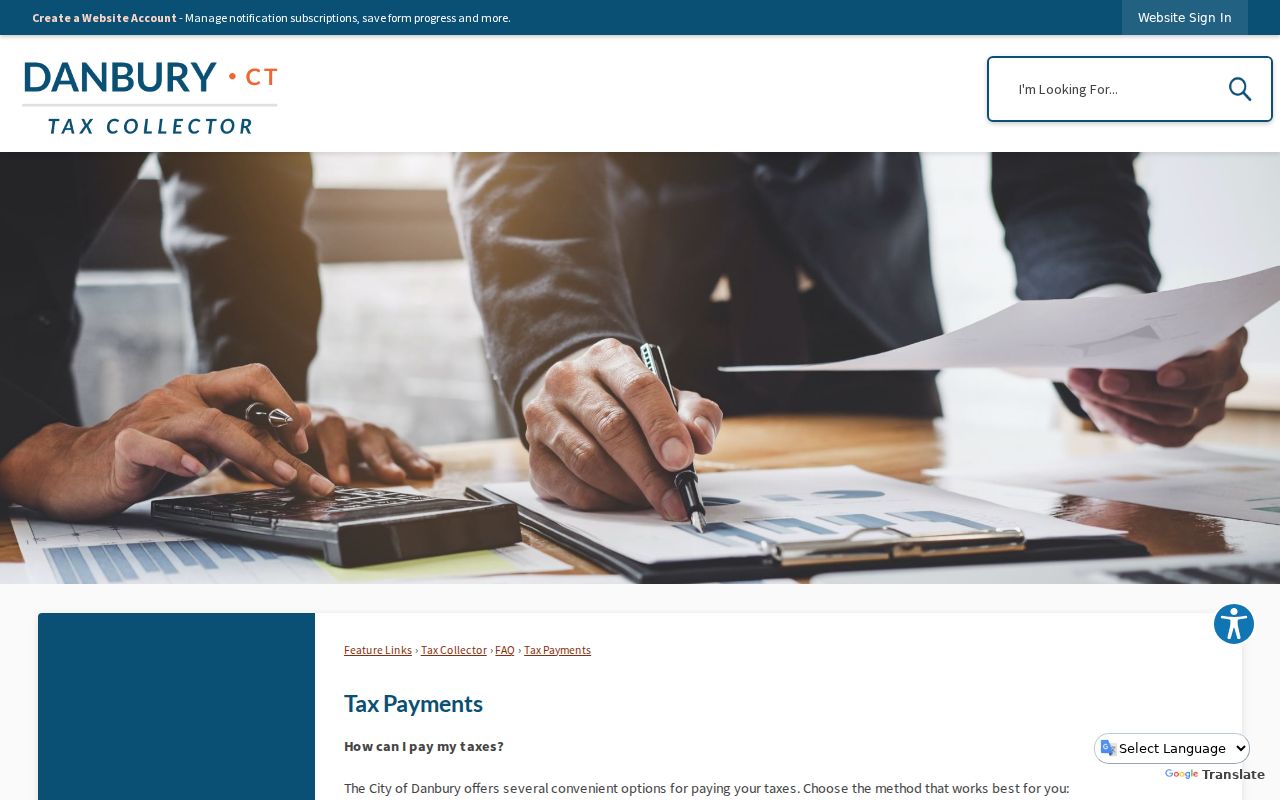
When a number or street suffix changes, search street text, number-only, MBL, legal description, and neighboring parcels. A Danbury-wide renumbering year was not verified in the official sources, so an apparent gap should go to the Museum, Assessor, GIS, Planning, or 311 rather than becoming an invented date.
- Situs address
- The physical location used by the assessor, GIS, permits, and some court address searches.
- Mailing address
- The delivery address for a notice or owner contact; it can be outside Danbury.
- MBL
- The municipal parcel key that helps connect a card, map, deed, and plat.
- Legal description
- The lot or tract language in a recorded deed or plat, often stronger than street text.
Browse a Whole Danbury Street
The eQuality Property Search is the main street-browse tool in the Danbury street directory. Select a live street name, add a number or unit when needed, and choose a property-use category only when the search needs that limit. The portal's owner field recommends a last-name-first convention. A street-only result can expose the pattern of parcel numbers, units, zones, buildings, and assessed names without claiming that each name is an occupant.
| Property Use | Optional checkbox or group; categories include Residential, Commercial, Farms/Barns, Office, School, and Vacant Land. |
|---|---|
| Owner Name | Optional text field; search the last name first and test trusts, estates, and spelling variants. |
| Location | Street number, full current Danbury street dropdown, and unit field. |
| MBL | Optional municipal parcel identifier for a direct bridge to recorded land documents. |
| Results | Street Name, Number, Unit, Name, Uniqueid, MBL, Property Use, Acres, Zone, Buildings, and Condo Complex. |
The Sales Search adds property type, date and price ranges, acres, MBL text, zone, design, and residential ranges such as living area, year built, rooms, bedrooms, and bathrooms. Danbury's current property-card page says the valuation base is the 2022 revaluation and updates nightly. The 70-percent assessment rule is a valuation rule, not proof of market price or occupancy.
For a direct look at the fields, use the Danbury property-card portal.
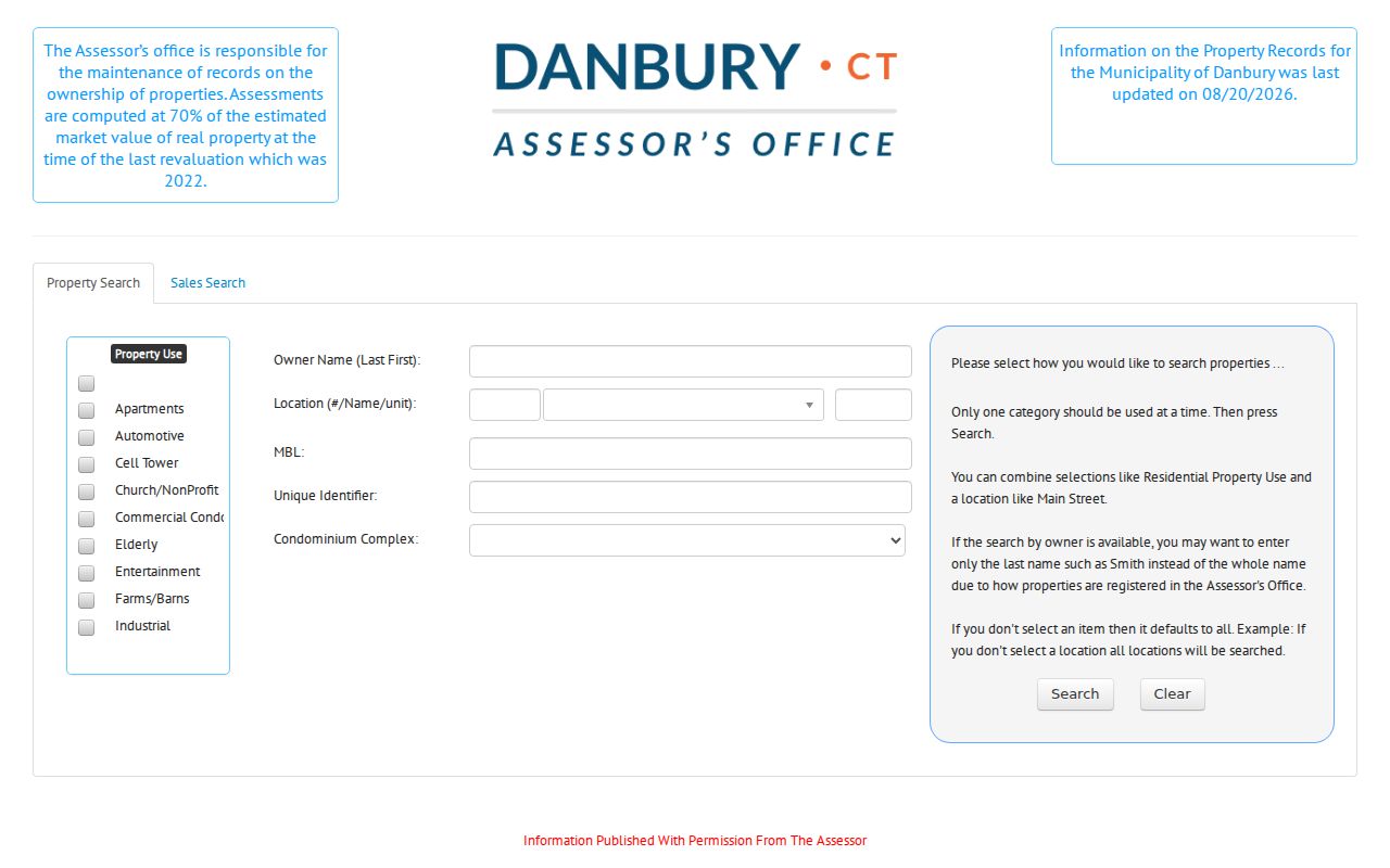
Save the exact street spelling, search date, MBL, and result relationship. A mailing contact can live elsewhere, and an assessed owner may not be the person present at the property.
Danbury Street Records You Can Search
A street directory is strongest when its sources are compared rather than blended. The assessor and GIS layer are parcel tools. RecordHub and the Town Clerk are legal-document tools. Building/OpenGov and Civil Inquiry are record-specific address layers. The voter lookup is person-specific, so it cannot be used to sweep every name along a street.
| Record Set | Keeper | What It Shows | Access |
|---|---|---|---|
| Property cards | Danbury Assessor | Assessed owner, MBL, situs and mailing clues, use, zone, buildings | Public portal |
| Parcel map | AxisGIS Danbury | Geometry, parcel IDs, layers, assessment links, abutters | Public viewer |
| Deeds and liens | Town Clerk / RecordHub | Grantor, grantee, recording date, legal description, images when available | Online plus counter fallback |
| Permits and CO records | Danbury Building | Permits, inspections, plans, violations, certificates of occupancy or acceptance | OpenGov request; records back to 1965 uploading |
| Address court search | Connecticut Judicial Branch | Qualifying property case matches by town, street, ZIP, and status | Limited public index |
The common bridge is the parcel key. Use the MBL to move from card to map and legal description; use the street and number to locate permit or court material; use the printed address in an older directory. Each result should carry a label such as assessed owner, permit applicant, case party, or historical occupant.
Map Danbury Parcels on AxisGIS
AxisGIS adds the geography that a table cannot. Search by owner, address, or parcel ID, then click the parcel to open Assessment, Documents & Links, and property-photo details. The inspected configuration had parcel data current to 2025 and links to cards, permits, plans, and related records. Layers can include parcels, zoning, flood, districts, and other configured public information. The legend and map scale control what is visible.
For a full street, zoom to a segment and click parcels in order. Record each parcel ID and address before moving to the next. The map's report, print, mailing-label, identify, measure, and draw tools make a dated working set. The viewer's disclaimer says the data is informational and may change, so a map line is not a substitute for the recorded deed or plat.
AxisGIS is also the bridge to the Danbury neighbors workflow when the question changes from a full street to adjacent parcels. The same MBL can keep the two searches distinct.
Follow a Danbury Deed Chain
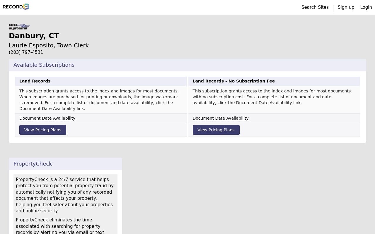
RecordHub lists a Danbury Town Clerk organization and a no-subscription land-record plan with index and images for most documents. The landing page shows the date-table headings Index Type, Index From, Index Thru, Image From, Image Thru, and Comments. The exact rows and authenticated search fields did not load during the unattended inspection, so no online cutoff year should be assumed.
Start with the current assessed owner as a grantee candidate. When a document is found, capture the grantor, grantee, recording date, document or book-and-page number, legal description, consideration if shown, and image availability. Search the prior grantor as a historical grantee, then test the same lot, subdivision, MBL, or legal description. Trusts, estates, corporations, and spelling variants can break a name-only chain.
The RecordHub date-availability page exposes the metadata table.
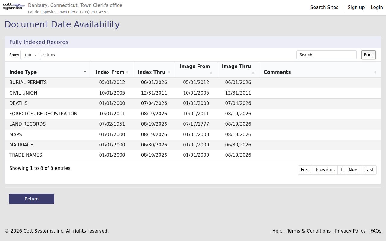
The RecordHub land-record gateway is the online starting point, while the Town Clerk counter at 155 Deer Hill Avenue is the verified fallback. Counter copies are $1 per page. A phone call to 203-797-4531 is sensible when an early deed, mortgage, lien, release, plat, or military discharge matters.
RecordHub's generic help says account, search, image, and print charges may apply. The no-fee index plan therefore does not mean every image or download is free. Keep the access choice next to the document number.
A deed establishes a recorded transfer. It does not state every person who occupied the property, and a current owner is not automatically the current household.
Permits, Courts, and Civic Layers
Danbury Building/OpenGov can add dates around a parcel. The department reports more than 2,000 information requests involving permits, inspections, plans, violations, and certificates of occupancy or acceptance, with thousands of records reaching back to 1965 being uploaded. OpenGov requires registration or sign-in and a request category. A permit applicant, plan contact, or inspector is a record role, not a household roster.
The Civil Inquiry Property Address Search accepts Danbury as the city or town, optional street text, a full five-digit ZIP, case type, property type, and active or disposed status. Its stated foreclosure coverage begins January 1, 2014. It returns qualifying case records, not everyone connected to the address. The city UNIT complaint path and 311 can route a current civic question, but an address-keyed complaint is not a public list of people.
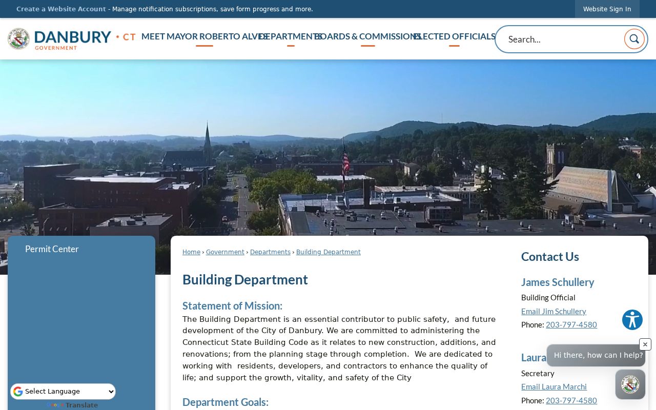
The Danbury Building Department explains the records upload, and the OpenGov categories show the request path.
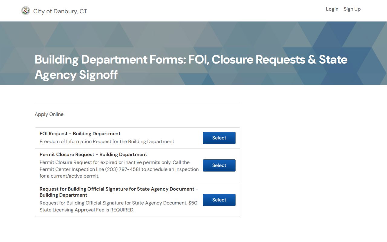
OpenGov's public category page did not expose every request field before sign-in. For a focused request, name the address, record type, and date range, then ask for segregable nonexempt material.
These layers support an address history. They do not turn a permit, court case, or complaint into evidence of who is present today.
Read a Historic Danbury Street Section
The older street directory is the historical side of address work. Danbury Museum scans cover 1877–78, named Webb, Carter, Thompson, Breed, and Crofutt runs from 1885 through 1890, 1891 A–L and M–Z files, a broad 20th-century file, and the 1992 Catalist Danbury–Bethel volume. Read the alphabetical citizen section and the street or reverse section together.
Old entries may use initials, occupation abbreviations, spouse or widow notes, boarding notation, or a business name. Photograph or transcribe the volume's abbreviation key before interpreting a mark. Pair a street entry with a deed, newspaper, census, probate, or cemetery record. The 1890 federal census loss makes the local 1889–91 run useful, but a directory is still an annual snapshot.
The Danbury city directory page owns the collection details and reading sequence, while this street directory keeps the focus on turning an old number into a dated address lead.
Danbury Street Geography Around I-84
I-84 is a useful local orientation line because Danbury's resident pickup guide divides service into south-of-I-84 06810 and north-of-I-84 06811 sections. That split is a city service convention, not a legal parcel boundary. A street directory search should still rely on the assessor location, AxisGIS geometry, and the recorded legal description.
USPS routing adds two more cautions. The 2026 Postal Bulletin sends 06812 to 06811 and 06813 to 06810. The tax office's 06813 PO box is an office mailing point. When a ZIP in a court, tax, voter, or deed record differs from the parcel's delivery ZIP, preserve both and name the source. The Danbury ZIP code directory handles the delivery geography separately.
Limits of the Danbury Street Directory
Public assessor data identifies an assessed parcel owner, not every person at the address. The voter lookup requires a known person's name and date of birth; it has no public street-browse mode. DMV address information is controlled by the federal DPPA, and utility or delivery-customer lists were not located as public sources. A directory, permit, deed, or court file can mention a person without proving current residence.
Protected voters and Address Confidentiality Program participants may not appear in ordinary public results. A blank search means no indexed result under that spelling and scope. It does not prove that nobody lived there. Mark every clue as owner, mailing contact, registered voter, historical occupant, case party, or permit role.
Lawful use. Danbury street and address records are for personal, lawful research such as family history, civic questions, and property history. Using them to stalk, harass, threaten, or intimidate a person can violate Connecticut law.
Ask the Right Danbury Office
The Town Clerk handles land records and copies, the Assessor handles property cards, AxisGIS supplies parcel mapping, Building/OpenGov handles permits and plans, the Registrar handles voter administration, and the Danbury Museum and WCSU handle much of the historical trail. Danbury 311, at 311 or 203-744-4311, is a 24-hour non-emergency routing point for a current city question.
For a formal request under Connecticut's Freedom of Information Act, CGS Chapter 14, name the custodian, address or person, record category, date range, preferred format, and fee contact. Municipal agencies may charge up to $0.50 per page under the state access rules. A focused request for a document number or permit date is easier to verify than an open-ended request for everyone associated with a street.
Note: Record the search date because Danbury property data, GIS layers, uploads, wards, and portal behavior can change.